Home / Case Studies / World Planning Twin

Spatial PlanningBack to Portfolio

World Planning Twin

Client/Sector: Simam Digital / development-planning POC

A browser-based 3D planning workspace for site intelligence, measurement and development proposals.

Project Snapshot

  • FocusSite assessment, proposal massing and decision communication
  • Platform3D web engine, open-map intelligence and planning tools
  • OutcomeA clear product concept for explaining development impact in context.
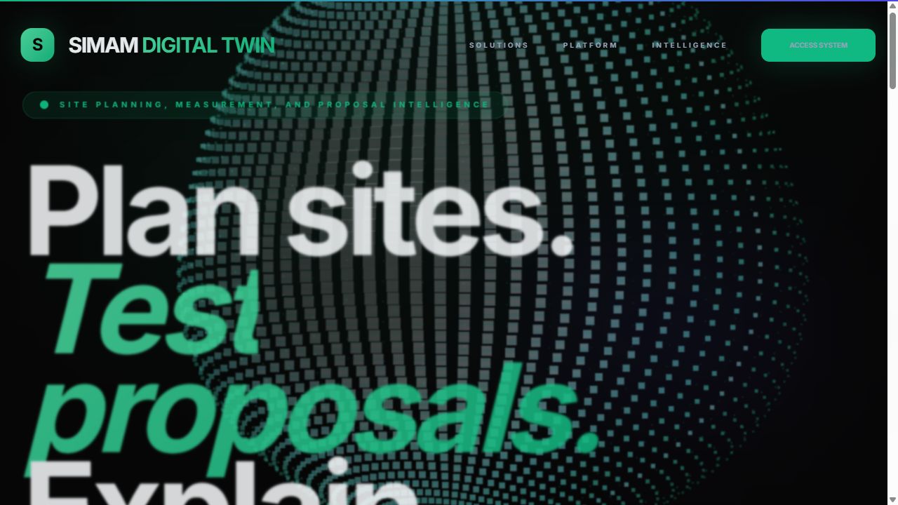
World Planning Twin live product screenshot

01 Challenge

The product problem

Architects, estates teams and councils often assess sites using disconnected maps, reports and 3D tools. The opportunity was to create one browser workspace where a proposal could be measured, placed and discussed in its real context.

02 Approach

Turning complexity into a usable product

I shaped the product around four jobs: inspect site intelligence, measure plots, place proposal volumes and communicate impact. This keeps the broad digital-twin capability tied to recognisable planning tasks.

03 Execution

What I designed and built

The POC combines selectable buildings and plots, open-map attributes, elevation-aware measurement, CSV/report outputs and 3D proposal placement. It is positioned as a Simam Digital demonstration with a path toward future BIM and client-data integrations.

04 Outcome

What the POC proves

World Planning Twin demonstrates how complex spatial workflows can become accessible through the browser. It provides a credible basis for stakeholder discovery while showing practical 3D frontend, mapping and product-architecture skills.
Technical delivery

How the product was shaped

World Planning Twin is a browser workspace for site intelligence: organise geographic context, measure constraints and develop a proposal without separating the 3D view from the evidence behind it.

A project model above the map

Sites, reference layers, measurements, annotations and proposed objects were treated as project data rather than temporary viewport state. That makes a planning session reproducible and creates a route to saved alternatives, revision history and stakeholder permissions.

Measurement users can interrogate

Distance, area and elevation tools need visible units, editable points and clear attachment to the active scenario. Measurements were designed to remain inspectable after creation so they could support a decision rather than disappear as a transient label on the canvas.

From geographic context to proposal

The interface joined terrain and mapping context to 3D placement and supporting notes, helping users explain not only where a proposal sits but why. The public build demonstrates interaction and architecture with representative data; it is not presented as a statutory planning or survey instrument.

Project summary

World Planning Twin quick facts

What was built
A browser-based 3D planning workspace for site intelligence, measurement and development proposals.
Role
Geospatial product architecture, 3D planning interaction, measurement UX and full-stack POC delivery through Simam Digital.
Outcome
A self-hosted POC showing how early site analysis and proposals can become a coherent, shareable spatial workflow.
Stack
Browser 3D, terrain and map context, project layers, measurement tools, proposal state and planning-workspace UI.

Frequently asked questions

Is this a disclosed client deployment?

No. It is presented as a self-hosted Simam Digital product or NDA-safe proof of concept without identifying confidential clients.