01 Challenge
Routing over a scan that knows nothing about ground
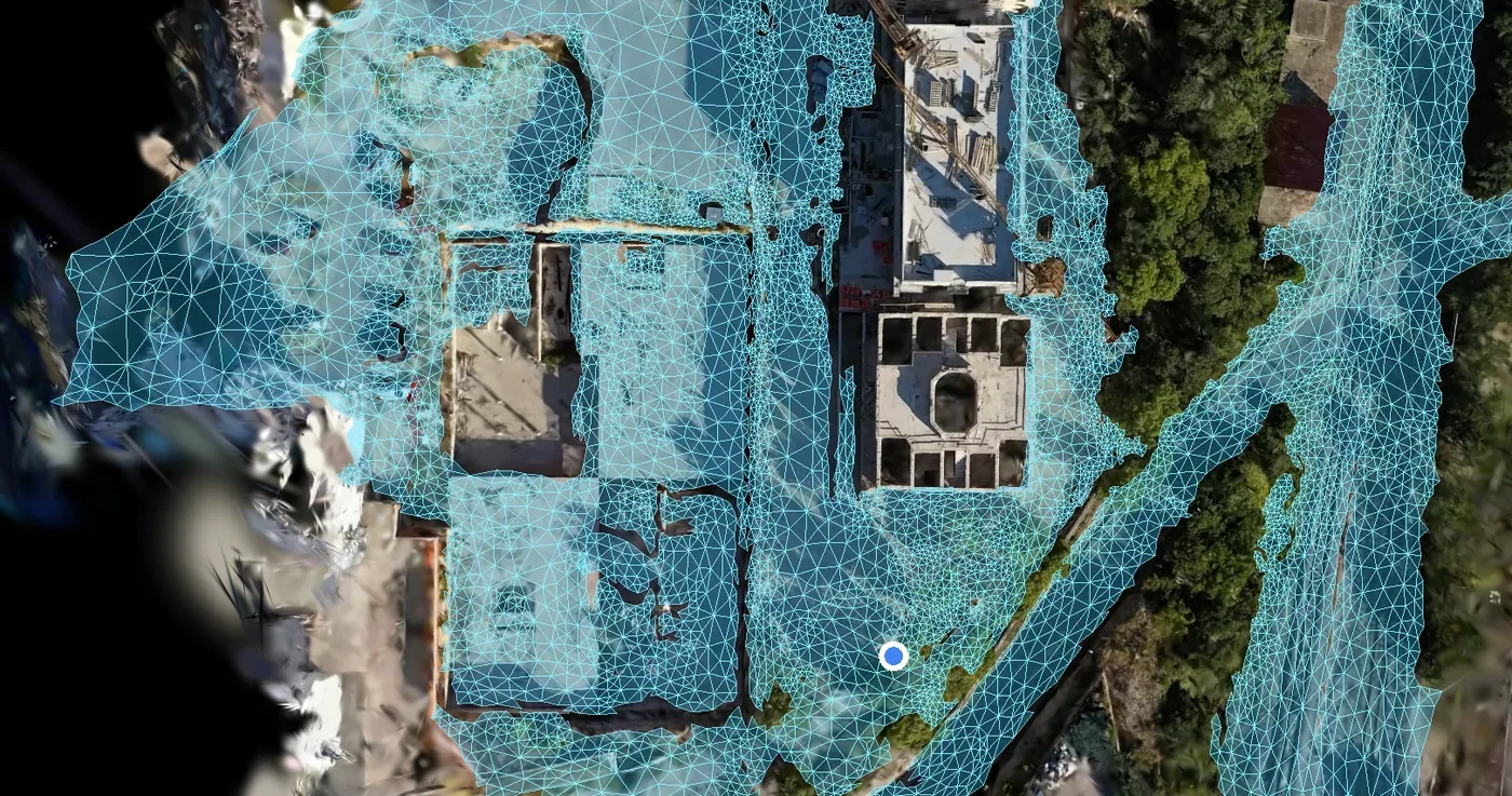
A Gaussian splat is purely visual: it has no surface, no collision and no idea what is walkable. Routing libraries expect a hand-authored navigation mesh, and a drone scan is triangle soup in which a floor and a car roof look the same.
02 Approach
Treat the scan mesh itself as the route graph
Each walkable triangle of the collision mesh became a node and each shared edge a connection, filtered by slope, height and connectivity so the router never sends anyone up a tree or along a roof. Phase 2 moved routing to an authoritative server-side GIS path graph.
03 Execution
From a photoreal viewer to a live site map
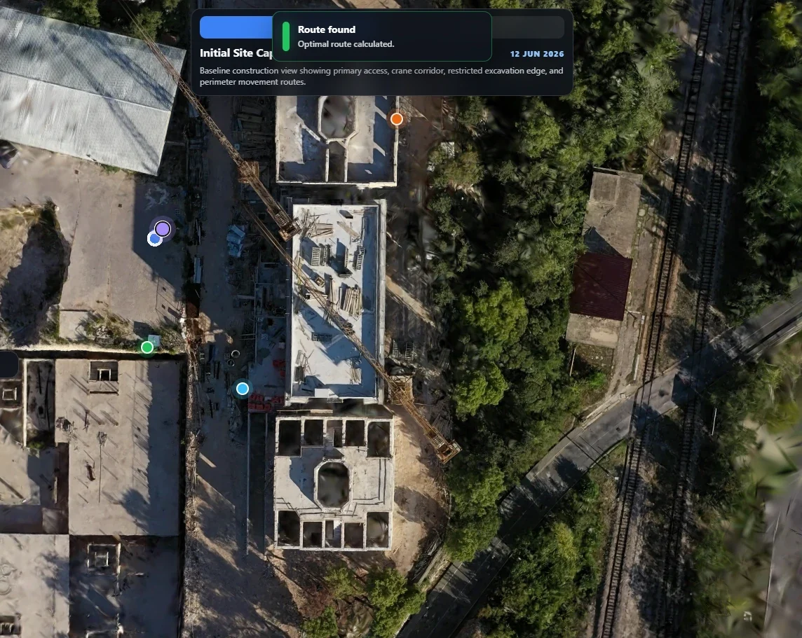
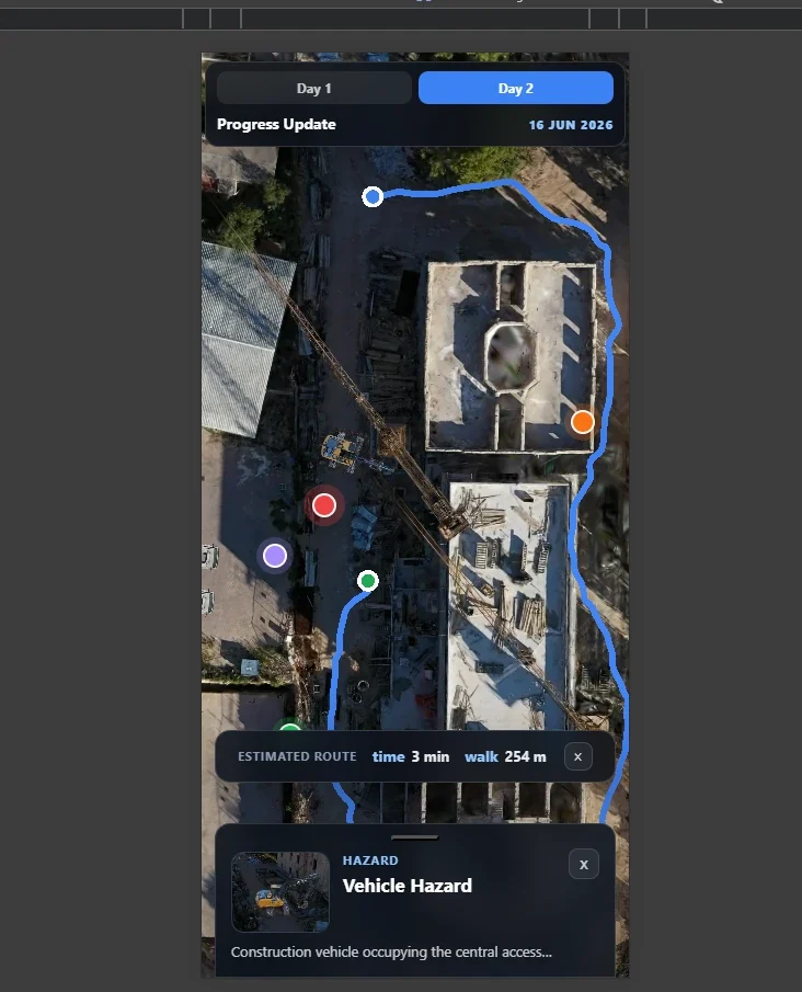
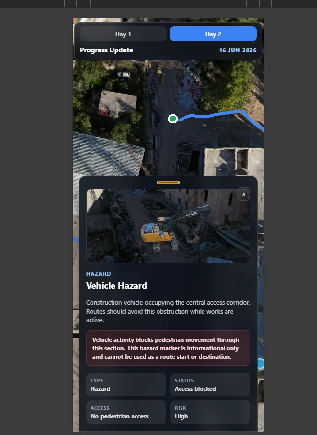
Phase 1 delivered the splat viewer with several dated captures of the same site, a pipeline to turn new drone footage into splats and load them automatically, and tap-to-route on a phone. Phase 2 delivered a site operations app: satellite, land-use and masterplan overlays, a 3D model of the completed site, live GPS, closure-aware routing, hazard zones with an advisory predicted-hazard layer, authenticated drawing tools and role-based access.
04 Outcome
A proof of concept that became a daily tool
The work was scoped against numbered acceptance criteria and delivered in daily, demoable increments. Phase 2 was delivered as a phased proof of concept and is now in daily use by site staff and programme leadership.